 PAM
PAMFirst, we thought about using the wifi to obtain the position. It’s called wifi positioning system (WPS). After some researches we found out that it may be really complicated as we are totally novice in coding. Also, this solution is more adapted to indoor positioning. WPS is well explained on the website below:
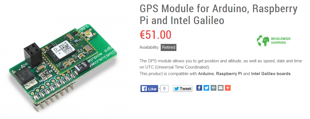
So then, we had to think about a second solution. We thought about putting a gps on the Arduino card but that kind of device is relatively big. It wouldn’t be very convenient, because we still want to make a wristband and our components are already quite large. A GPS is also expensive, it’s not the best solution in our case.
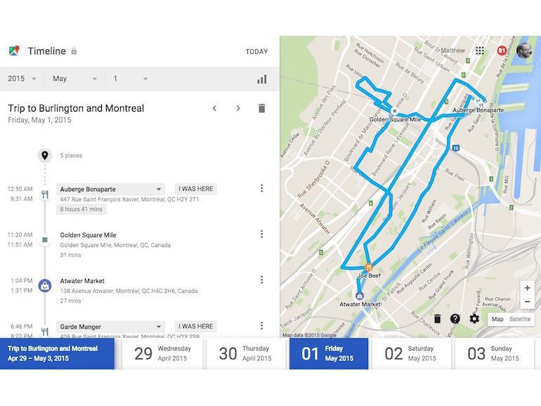
Finally, we found out a Google function, that can be use in our case: the timeline in Google Maps. All you need is a google account. Google can track your mobile device during the day, and then give you all your positions at any time. By combining this timeline to the data collected with our device, people will have access to their personal daily air pollution exposure, simply and without any supplementary cost :).
Discussions
Become a Hackaday.io Member
Create an account to leave a comment. Already have an account? Log In.