 Mark B Jones
“To eat well in England you should have breakfast three times a day.”
W. Somerset Maugham (1874-1965).
For weeks I've been stumped on a satisfying name for my sat nav...
Today my wife (Esin) and I went to an old favourite coffee shop and bistro in Thames Ditton down the road from our home in Berrylands, Surbiton. And the power of the Full English and a triple shot flat white broke the empasse...
I'm delighted to announce that my creation is christened:
Mercator Origins
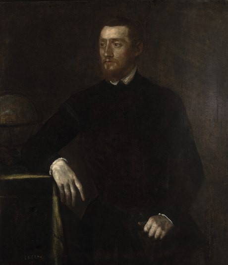
Gerardus Mercator - 1512 to 1594
Image Credit: Wikipedia (Creative Commons Attribution-ShareAlike 3.0 Unported License)
From Wikipedia:
Gerardus Mercator was a Flemish geographer, cosmographer and cartographer. He is most renowned for creating the 1569 world map based on a new projection which represented sailing courses of constant bearing (rhumb lines) as straight lines—an innovation that is still employed in nautical charts.
Mercator defined the map projection that is used as the main method to project the map of the earth (its 3D representation) into a flat 2D map. It's the world map we all know.
This Mercator sat nav is the first version in what I hope will be a series, hence the second part of the name "Origins".
Discussions
Become a Hackaday.io Member
Create an account to leave a comment. Already have an account? Log In.