 Platinenmacher
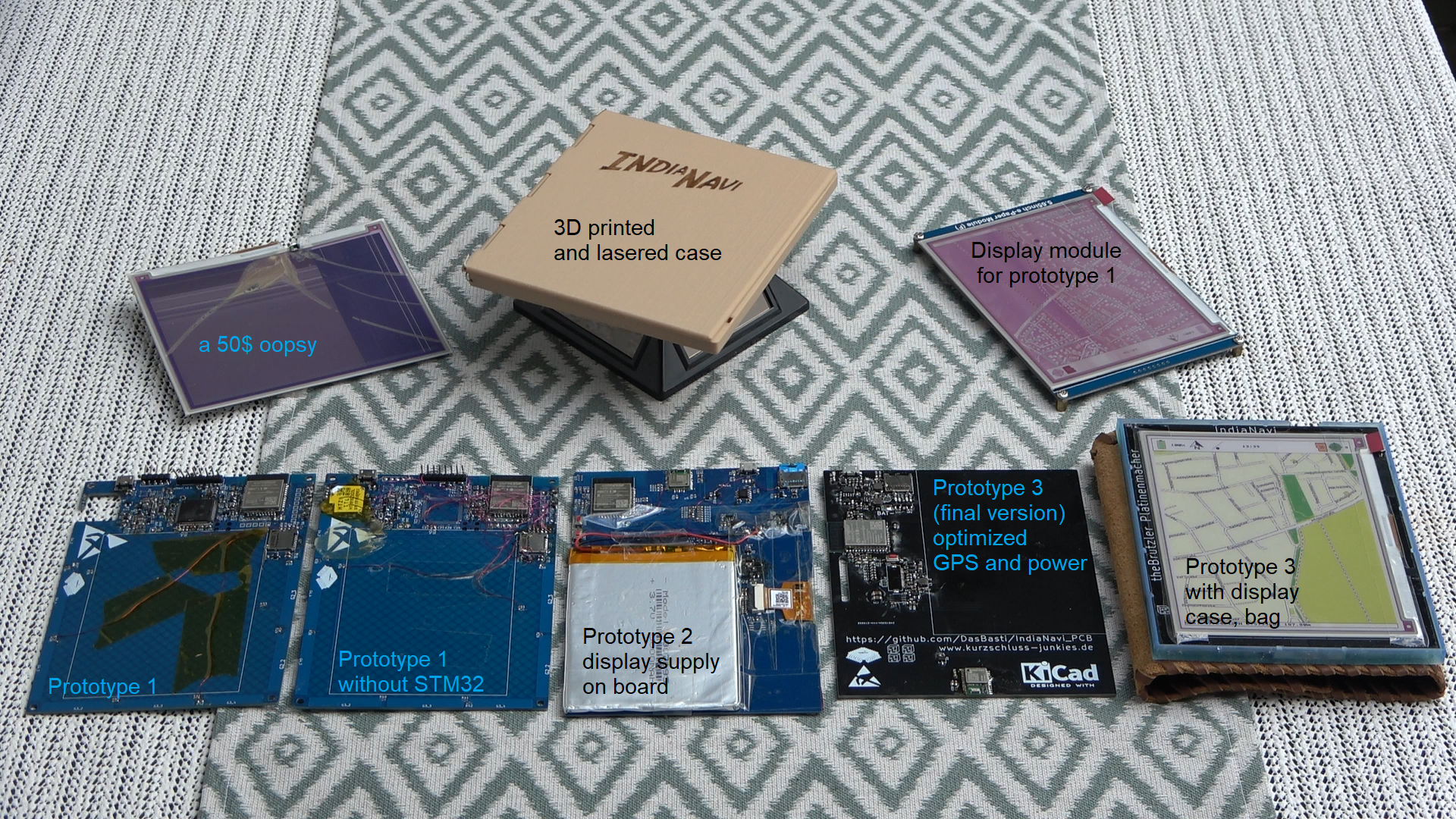
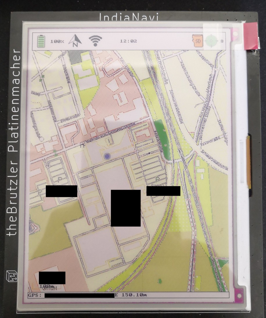
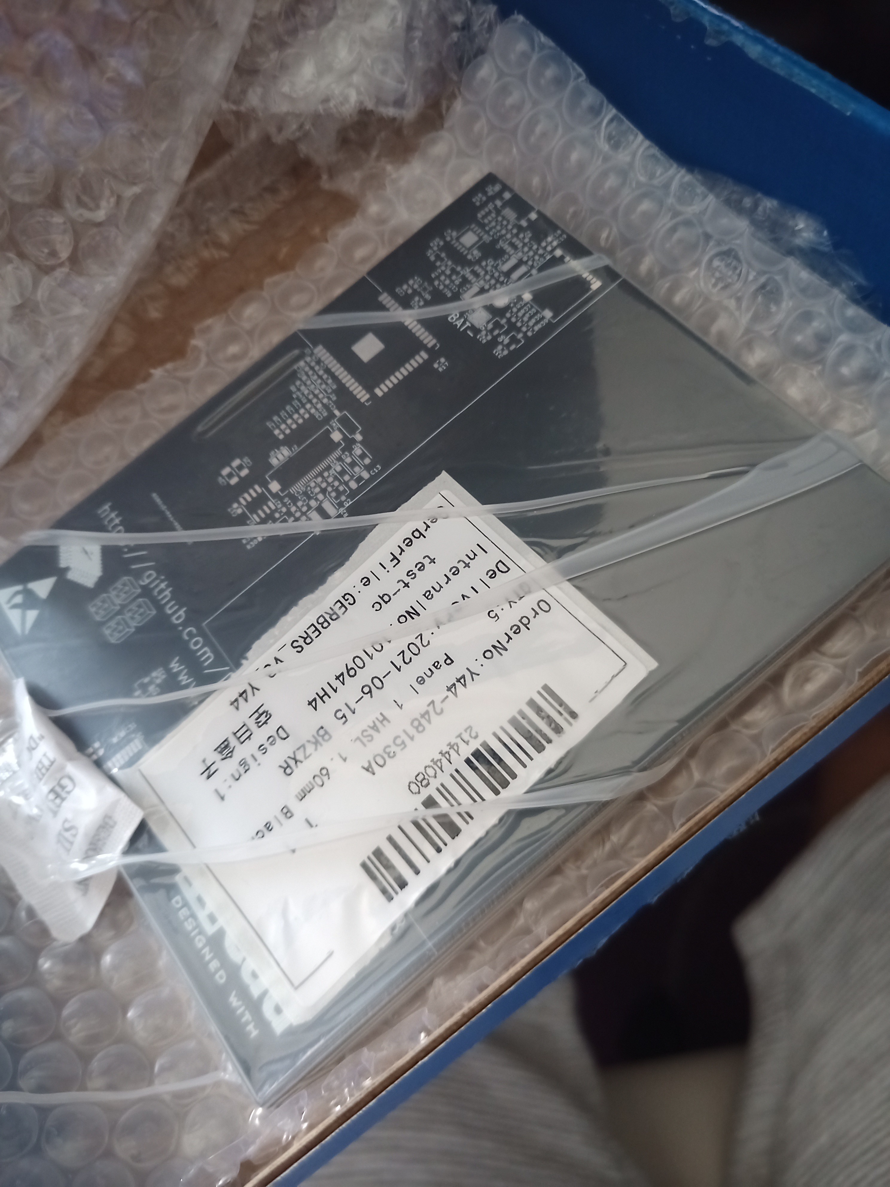
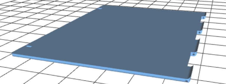
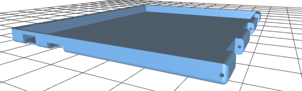
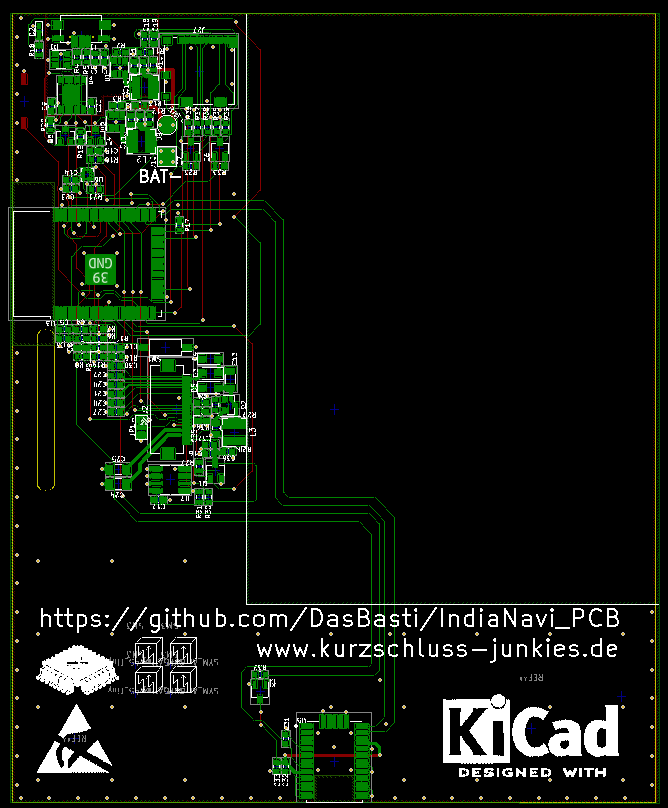
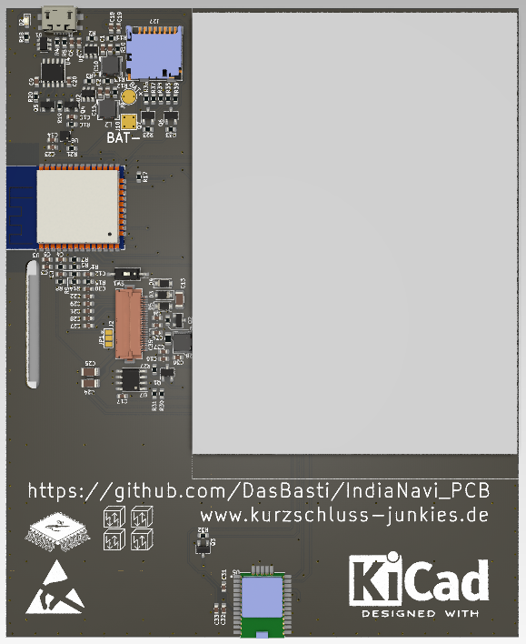
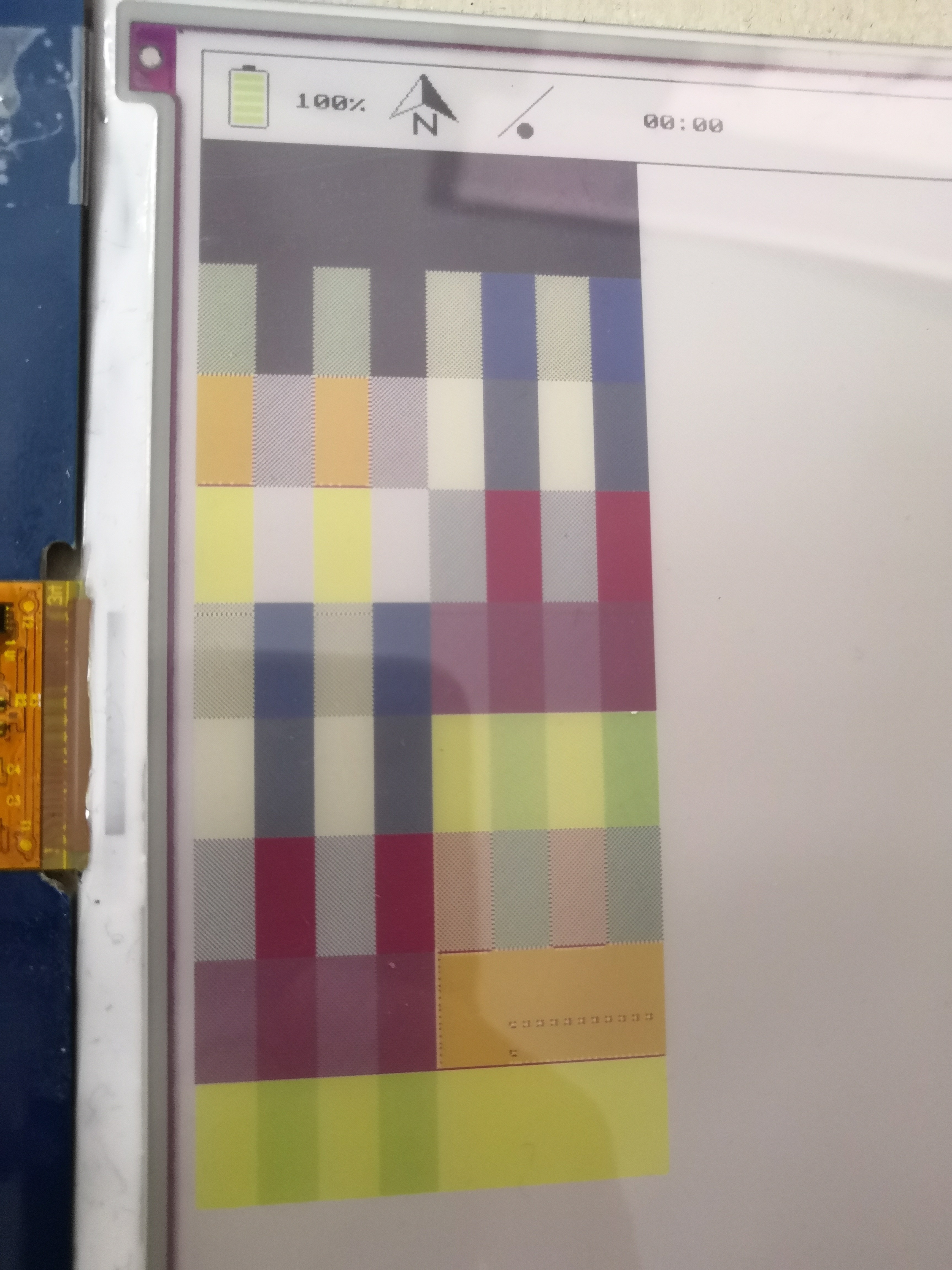
This device combines a 7-color e-paper display with an ESP32 microcontroller and GPS Receiver to display a map of the current location. The e-paper display is very well readable in bright sunlight and therefore ideal for outside use during the day. The energy efficiency of e-paper displays cause this device to last for several days on just one battery charge.
0%
0%
India Navi
old school new tech outdoor navigation system
Become a Hackaday.io member
Already have an account? Log in.
Just one more thing
To make the experience fit your profile, pick a username and tell us what interests you.
Pick an awesome username
hackaday.io/
Your profile's URL: hackaday.io/username. Max 25 alphanumeric characters.
Pick a few interests
Projects that share your interests
People that share your interests


 Christoph
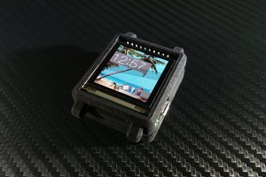
 WΛLLTΞCH
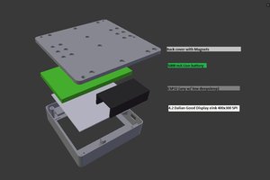
 Martin Fasani
 Valentin
This device appears to be aimed at hiking and biking navigation due to it's presumably low power, However I haven't seen anywhere that it includes a compass sensor. This is almost essential as GPS alone at low speed or stopped will not always show the direction you are facing. This can be frustrating when choosing between footpaths in a forest, with no visible indicators.